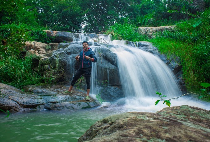
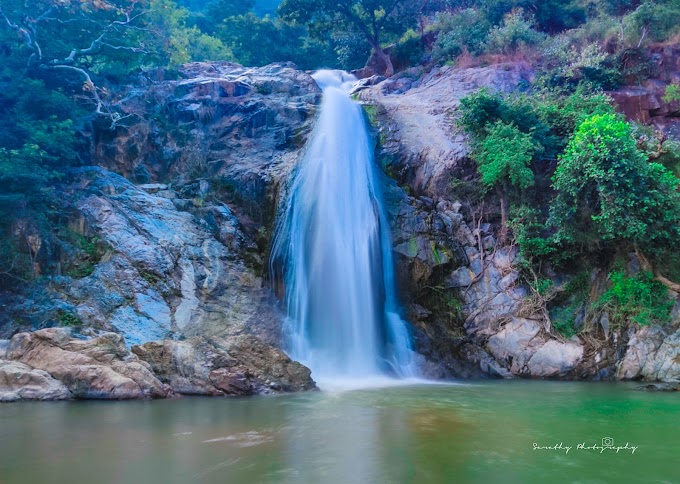
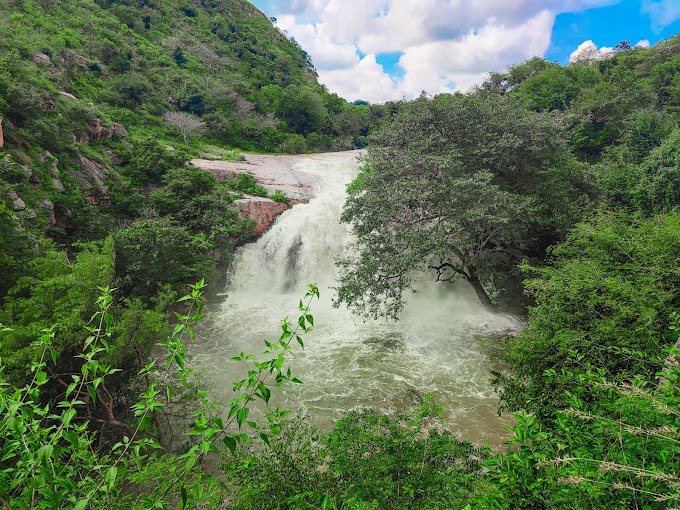
Post the Kunigal dam waterfalls trek of the previous post we continued our journey and our plan was to visit the beautiful Mallikarjuna cave temple around Nagamangala and we started to drive to the starting point where the google maps was showing and as the location was nearing we started to realise this may not be the right location as we were going through a single pass mud road and looked like a dead forest.
We got down from the car and was wondering if that was the right path as there was no way and we have to do some circus to reach the peak and with lots of thrill mind of 15 yrs experience of finding the path we parked the car and walked towards the peak.
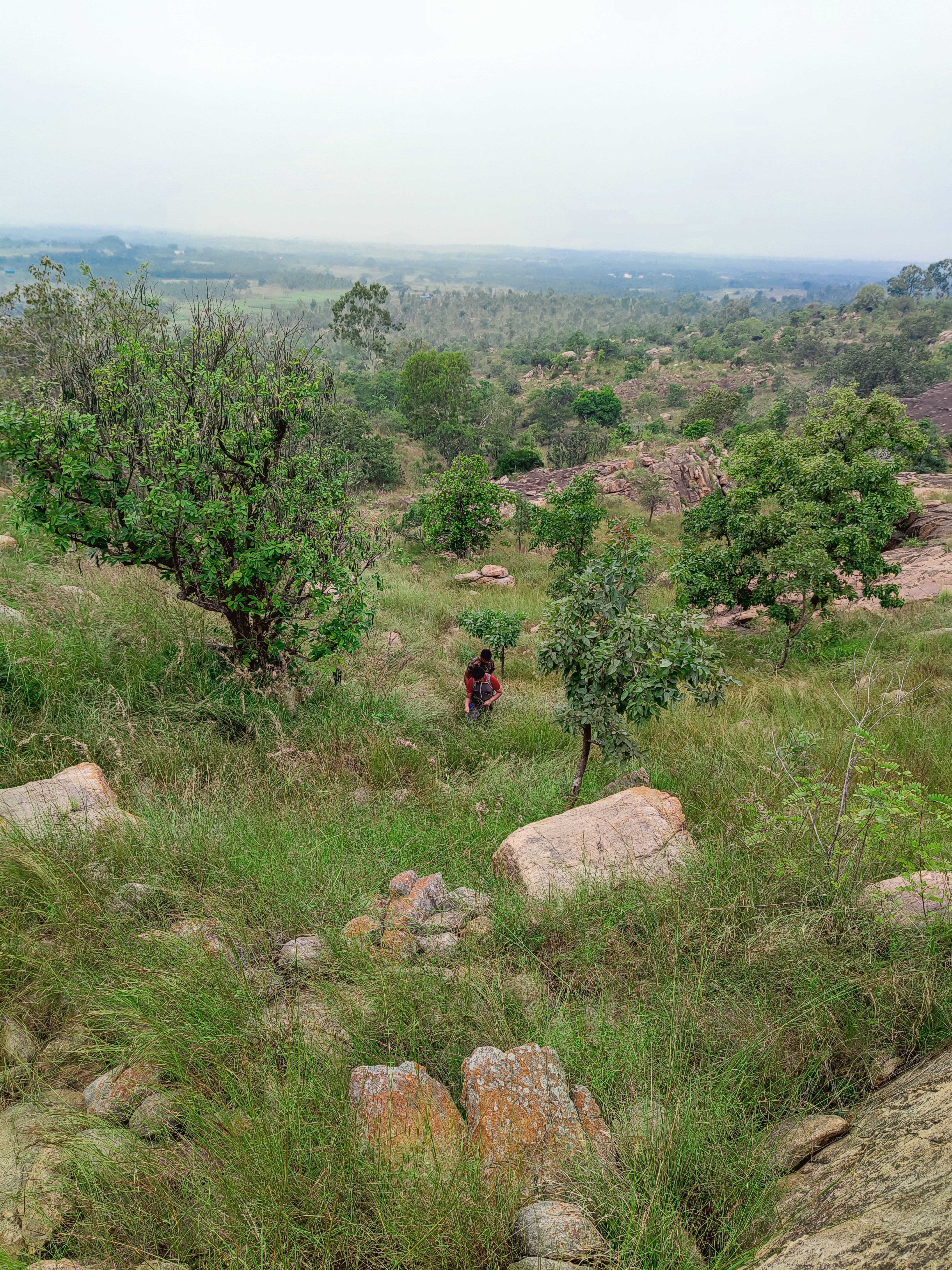
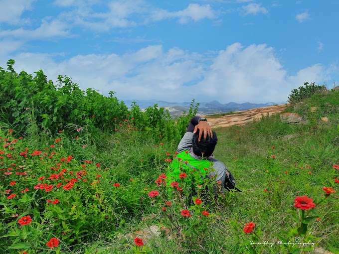
Initially there was a beautiful lake and post that using the satellite map we navigated further finding the way to the peak and have to say and admit this is one of the most beautiful path I have done in some time around Bangalore as we passed through thick foliage of forest and grasslands and saw bear poop everywhere.
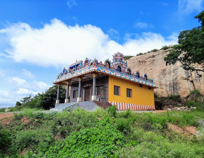
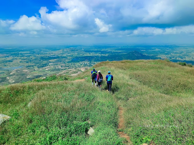
After 60 mins of navigating through that thick grassland and forest we finally reached the peak and it was about a 3km trek to the peak from the car park but was a very very thrilling one. The peak had a lovely old temple and few caves around. After reaching the peak realised we came the wrong way towards the backside and there is a normal path to reach the peak from the front side and gmaps navigated us little wrong.
After spending around 30 mins in the peak we started to descend back and to continue our journey further for the day. Would request everyone to consider the location provided below for the right starting point and avoid the route directly in Gmaps..
Car park location :
https://goo.gl/maps/eau8NqQwmgxC5qJo7

The beautiful dense grasslands

The initial path to navigate


Passing through thick foliage


The Glance of the temple after a 3 kms hike

The newly painted old temple


The Lake on the way


0 Comments